Terraso v.1.0
Co-creating a sustainable landscape management toolkit for 1000 Landscapes
Terraso is a technology platform for the 1000 Landscapes for 1 Billion People (1000L) initiative which Tech Matters committed to co-create with partner NGOs, community leaders, and land stewards.
Client
Tech Matters, 1000 Landscapes for 1 Billion People Coalition
My Role
User research lead
Co-design facilitator
UX design lead
Visual design lead
Problem Overview
Our goal was to provide technology for local community leaders and land stewards to sustain and restore ecosystems through a process called Integrated Landscape Management (ILM).
Our challenge was to deeply understand the local landscape’s needs and provide technical tools and assistance to allow them to achieve their goals sustainably. Both the 1000L initiative and Terraso had a network of co-design partners across the globe. I had to learn about conducting research remotely and designing for a global audience quickly while shaping the product vision and UX strategies.
Impact
LANDSCAPES
79
COUNTRIES
25
PROCESS
Research & Synthesis
During this discovery phase, the Terraso team interviewed local landscape leaders worldwide in a co-design process. The meeting notes, interview recordings, and infographics were captured in Airtable, Kumu, Zoom, Mural, etc. We worked with community members, landscape leaders, and local NGO workers to ideate solutions that could address challenges in their communities. We analyzed and synthesized a large volume of data into insights as our understanding grew.

Collected user interview notes in Airtable database

Analysis and synthesis of research data
We noticed the patterns of how better information, tools, and financing could enable the 1000L vision of locally-led sustainable change.
Five themes of the major needs:
Need tools that work with their current technology and capabilities
Need the ability to gather, organize, and control the data about their landscape
Need maps that are accurate and useful
Need ways to communicate with their community and the world
Need funding
Persona Development for Terraso and beyond
From previous projects, I found the persona tool to be very effective for communication and user story development. The research-based primary persona set can help the product team’s decision-making process and stakeholder communication. Therefore, I created three personas as a primary set in collaboration with the product manager utilizing our wealth of research data. Shortly after finishing the draft posters, my teammates nudged me to create Spanish version posters to get feedback from co-design partners in Latin America. Leveraging assistance from our translator, we were able to provide our content to a wider international audience.

Collaborative persona development process from research data
Terraso Persona Posters
Terraso’s initial persona set had a project manager in a local CSO, a local CSO founder, and a student volunteer. We developed them as the initial set because this construct was identified in multiple landscape projects.
During the persona feedback gathering phase, I received a request to add another persona, a trainer, from the 1000L capacity building team. The stakeholders liked the persona tool and wanted to adopt it to their curriculum-building process. Consequently, I facilitated the co-development process with a team of instructional designers and NGO officers.

Pia, Project Manager

Felix, Facilitator from CSO

Vito, Volunteer

Luis, Local CSO founder (Spanish)
Internationalization and Cultural Fluency
For communication, the primary language across 1000L teams and stakeholders was English. Most of them spoke English fluently. Yet, interviewing local community members in Latin America needed an interpreter and help from local NGO officers. I occasionally used Google Translate for WhatsApp messages and emails. I heard that the automated translation elicited chuckles from the Latinx partners.
I designed the Terraso apps with internationalization in mind utilizing best design practices. I educated myself about cross-cultural design from books and articles. Yet, I learned far more valuable lessons and gathered useful feedback when running usability studies and feedback sessions with Spanish-speaking users in Latin America. I couldn’t imagine working without interpreters for productive interactions and respected the power of language skills and cultural fluency many times. Humility was a prerequisite and remembering that their local expertise was the first step in our respectful interactions.

Hybrid user Interview in Colombia
Explorations for Terraso Alpha
Based on the research findings and 1000L roadmap, we shaped Terraso’s v1.0 as a technical platform where users can work together with their landscape members to achieve their goals. First, many landscapes needed technical support for data collection and visualization projects. Their challenges ranged from paper-based data collection, erroneous data entry practice, lack of capacity for data visualization, lack of budget, and so on. They needed affordable survey tools that work on mobile phones while being offline as data collection happened in remote areas often.
Key user tasks to support:
Create and administer data collection (surveys)
Store dataset securely
Share the dataset with trusted people: coworkers, stakeholders, and financiers.
Visualize data on a map (Geospatial data visualization)
Share data insights
Key UX concept explorations and definitions

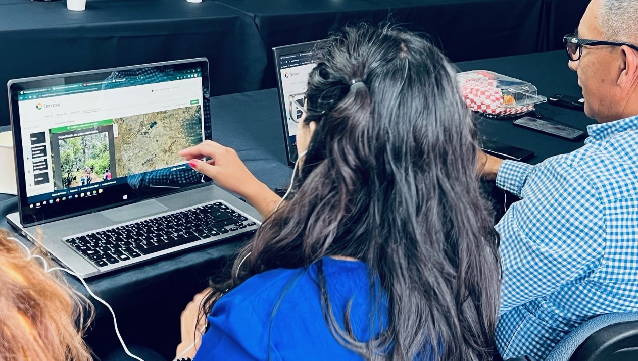
Remote user Interview with co-design partners in Colombia with an interpreter (via Zoom)
Making journey maps collaboratively
We interviewed and mapped the steps a data collection project goes through with multiple co-design partners. Then we synthesized them to create a data lifecycle journey map with Terraso personas. I facilitated these mapping exercises and invited 1000L stakeholders for feedback on our initial map. We identified the ‘collecting data’ and ‘processing data’ phases as our top priorities to make a substantial impact with v1.0.

Terraso data collection journey map
Identifying core UX conception
As I immersed myself in the user research data and the Terraso v1.0 vision, I was able to structure user experience concepts based on our understanding of users’ mental models. I also needed to envision how Terraso fits into the 1000L’s ecosystem as multiple parts were being designed and implemented concurrently. Collaboratively orchestrating multiple moving parts with consortium partners taught me how global NGOs operate.

Envisioning Minimum Viable Product
Once we completed the essential structure and key concepts of Terraso, our vision of creating substantial impact for the ‘processing data’ phase led us to the key question “Why do users from local nonprofits collect the data in the first place?” Their goal was to assess their program’s efficacy using the monitor and evaluate (M&E) methods. They didn’t want the raw dataset but the insight of the dataset. Terraso can make drawing the data story easier than the status quo.
Focusing on the WHY of data collection
I heard the landscape project teams often collect monitoring data with latitude and longitude. I saw the data tables for a water quality survey project and reforestation programs wtih coordinates. My challenge was to simplify the data visualization, so anyone could draw the key insights from the dataset.
A clear understanding of user scenarios and mental models guided the data visualization tool research. Powerful tools were too complicated and expensive for the target audiences. I focused on our niche goal -- a simple data visualization for a fast & straightforward data story.

Geospatial data visualization workflow diagram
Imagining the simplest geospatial data visualization experience
Once I visualized the ideas as rough wireframes I collaborated with the internal team and co-design partners to gather feedback quickly. Throughout the close collaboration, the key concepts and the microcopy were continually iterated.

Data visualization step 1. Select a file

Data visualization step 4. Name the map and annotate

Data visualization step 2. Select data columns

Data visualization step 5. Preview data map
Prototype, Test, & Iterate
Having a list of willing co-design partners who were interested in data visualization tools helped fast iterations. I collaborated with the product manager to conduct the usability study as soon as the working prototype became available.


Research strategy:
Low-budget studies and Ad-hoc studies for high-risk assumptions
Study Session Setup:
Zoom and a prototype or a Dev build in a QA environment
Visual Design under the 1000L Initiative’s Brand
1000 Landscapes for 1 Billion People initiative established a strong identity before the Terraso v1.0 release. As a central technical platform of this large initiative, Terraso’s brand needed to align with the core branded expression of the initiative. I collaborated with the 1000L PR & Marketing team for this effort.
I extended the 1000L brand with a complimentary color palette and visual styles for Terraso’s look and feel. I also created brand guidelines and editorial style guides for the product team.

Terraso brand guideline summary


Terraso Homepage on a mobile device and a laptop
OUTCOME
Terraso’s Soft Launch (a.k.a. Alpha)
Terraso Alpha version was released in February 2022 with very minimal MVP functions. No press release, yet. Since then, we continuously released essential features to become a technical platform for the ILM practice under the guidance of the 1000L initiative.

79 Landscapes (39,794,612 hectares) across 25 countries created in the Terraso platform
Terraso v.1.0 Launch
In May 2023, Terraso officially announced the v1.0 release in Kenya during the 1000L co-design workshop with the Kenyan Landscape Coalition
Impact
Terraso has empowered local community leaders and land stewards with technical tools to manage their landscapes and ecosystems